Lab Equipment
Custom Built Tangible Modeling Table
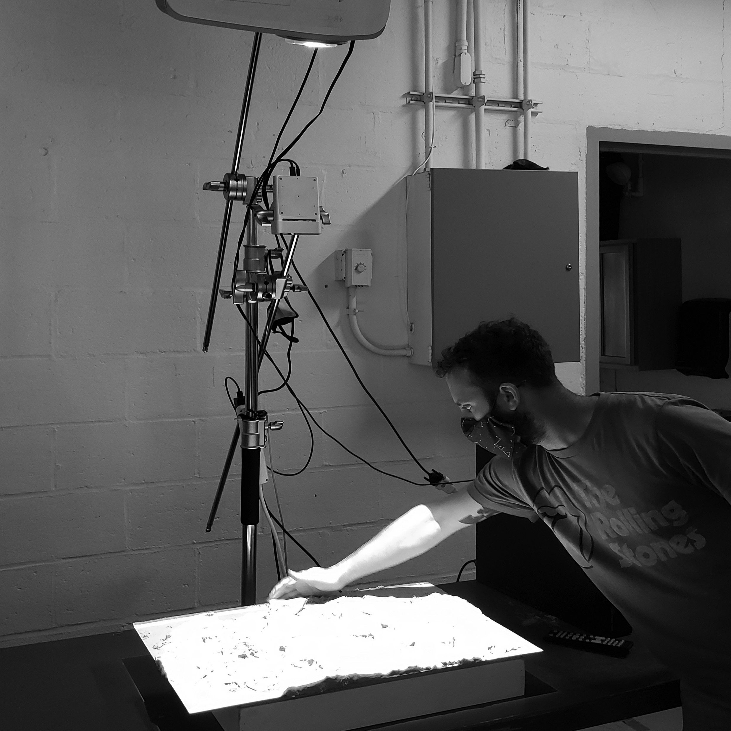
This open-source tool allows our researchers to analyze geophysical processes, like drainage, in GRASS GIS through the direct manipulation of physical models.
EmRiver EM4 Sediment Table
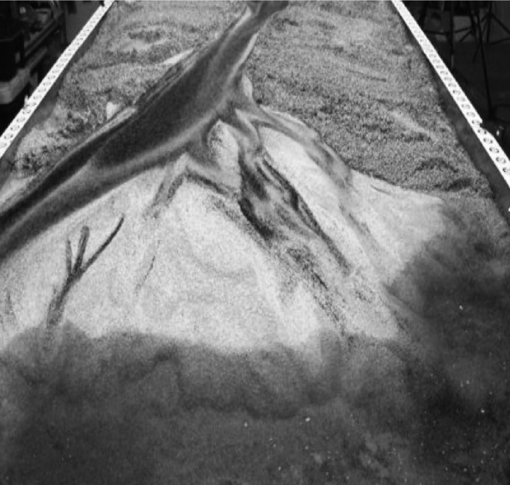
Our Custom-Built table and wave paddle enables our team to simulate a wide array of geomorphological processes such as delta formation, shoreline erosion, and sediment transport.
EmRiver Emflume1
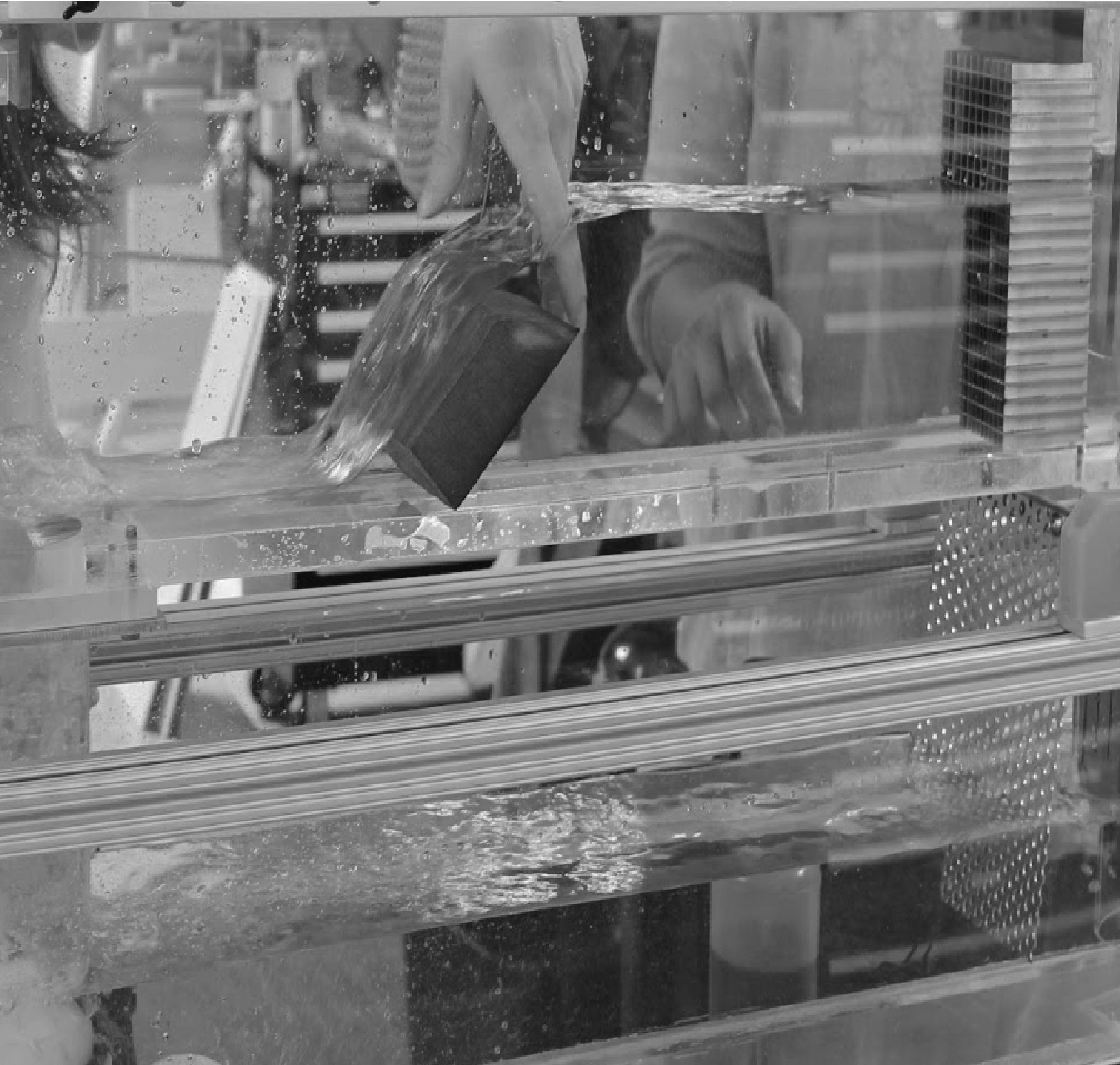
The EmFlume provides opportunities for our team to conduct experiments that explore waterflow and turbulence sectionally around obstructions under different flow regimes.
Emlid RTK GNSS Survey Receivers
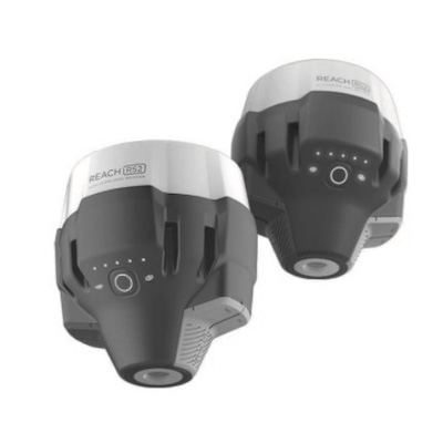
Our pair of GPS/GNSS receivers give our team the capacity to create sub-centimeter surveys quickly and accurately.
UAV Fleet
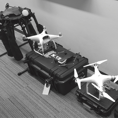
We have a range of light to heavy load capacity UAVs equipped with high-resolution visible and multispectral cameras: DJI Phantom 4, DJI Mavic Pro, DJI M600 Pro, and Wingtra Gen 2.
Parrot Sequoia multispectral camera
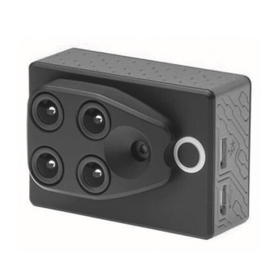
Our UAV-based multispectral sensors give the lab the ability to capture and analyze a wide range of biophysical characteristics, like plant phenology, at high resolutions.
ArcGIS Pro
We can both create and analyze a wide spectrum of geospatial and geophysical data.
Aquaveo SRH-2D/ CMS
Our lab can simulate a broad array of riverine, estuarine, and coastal shoreline processes.
© 2020 University of Pennsylvania Stuart Weitzman School of Design
© The Ian L. McHarg Center for Urbanism and Ecology
210 South 34th Street
Philadelphia, PA 19104
© 2020 University of Pennsylvania Stuart Weitzman School of Design
© The Ian L. McHarg Center for Urbanism and Ecology
Office of the Director
210 South 34th Street
Philadelphia, PA 19104