UAV Survey
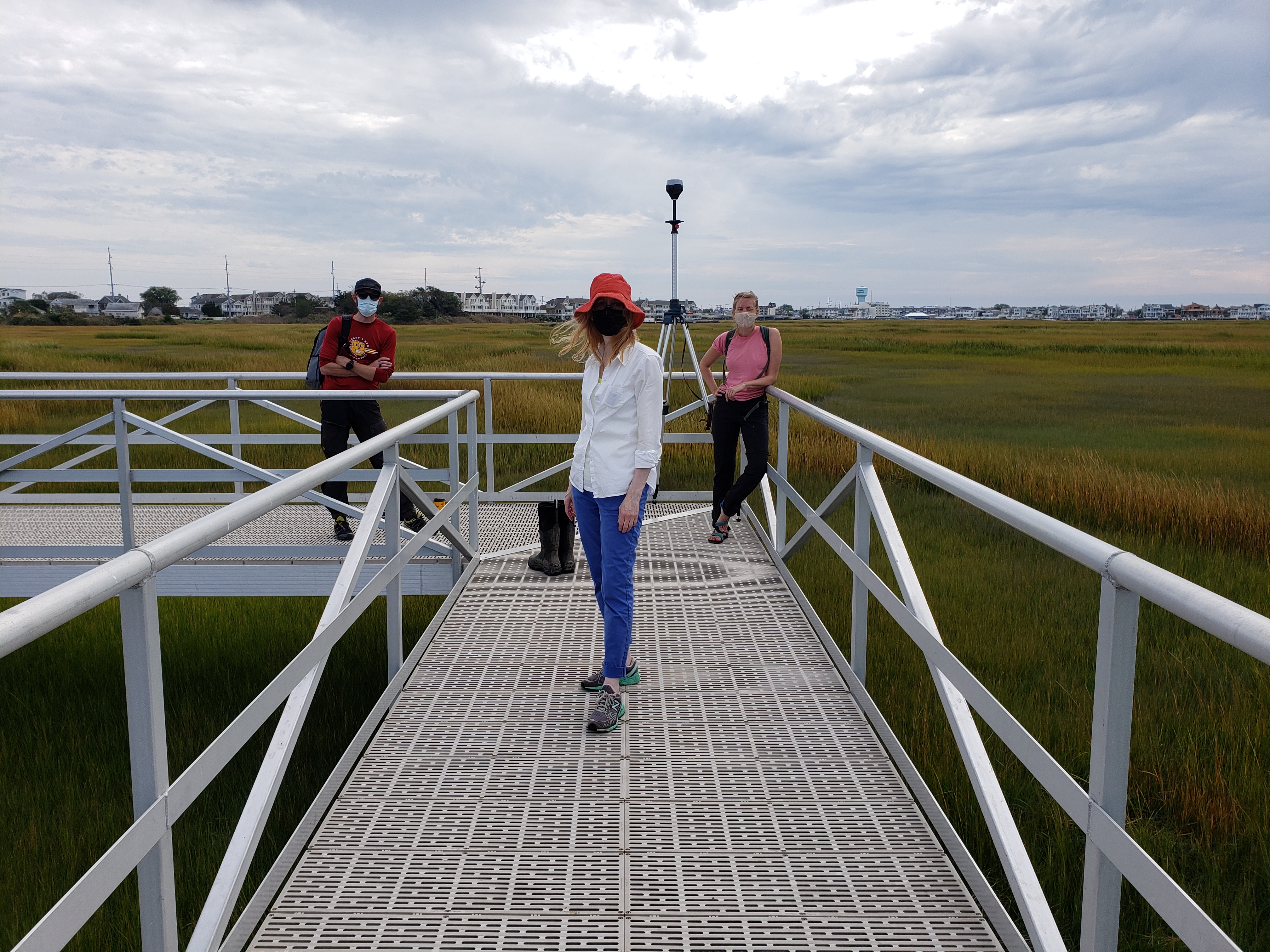
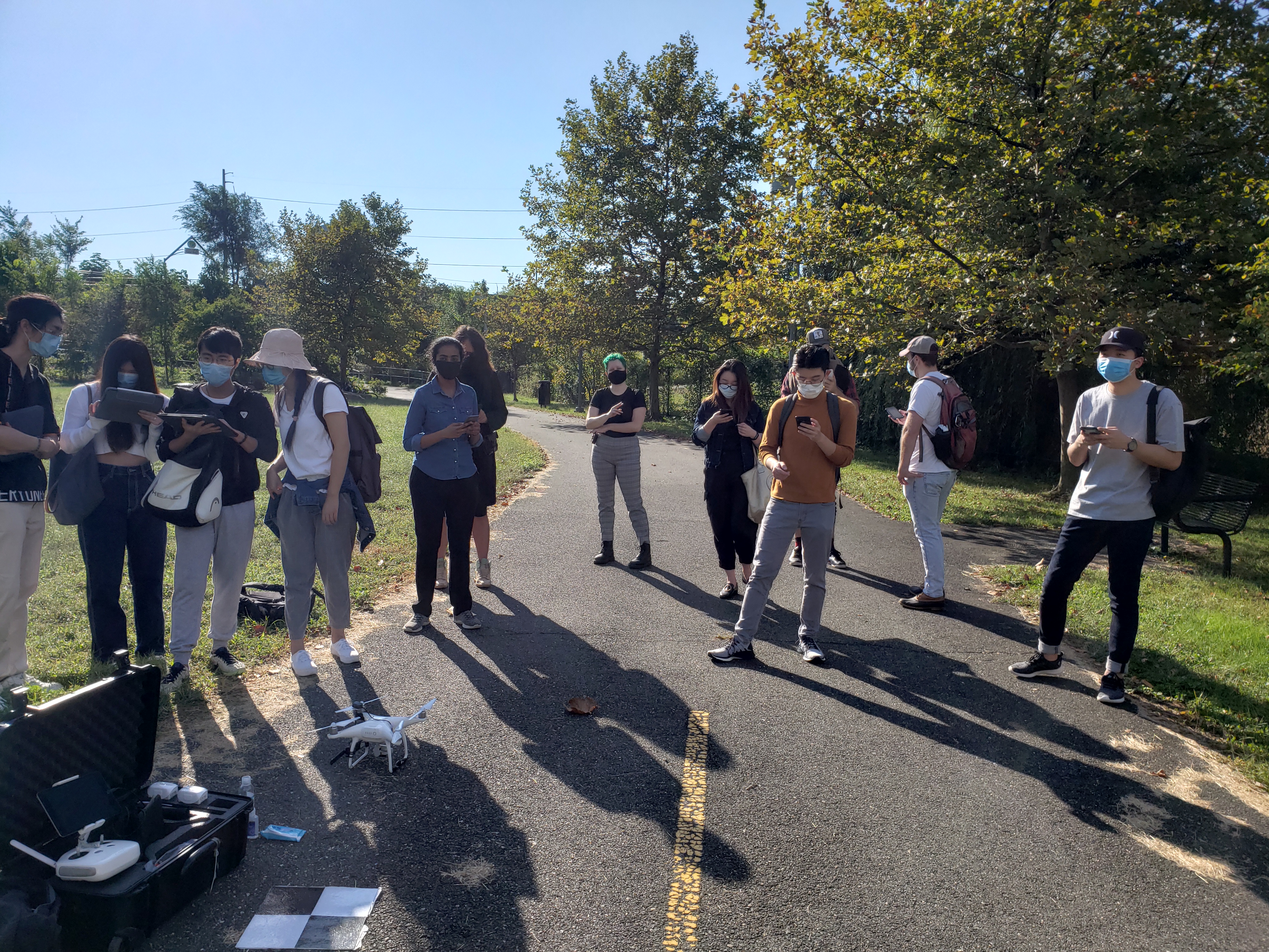
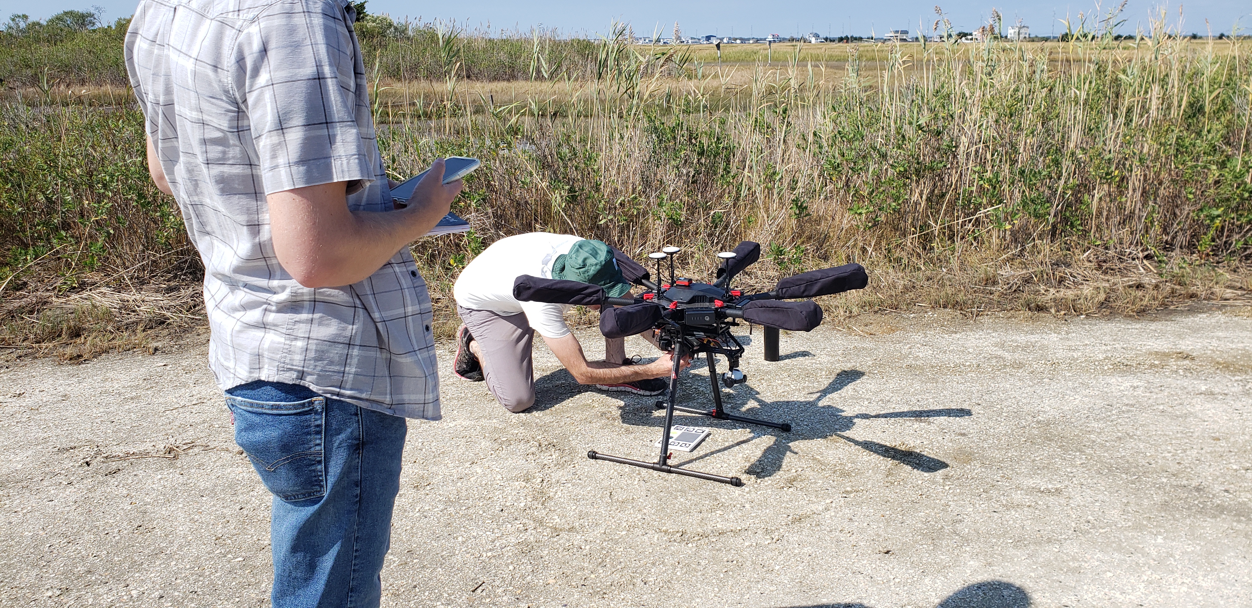
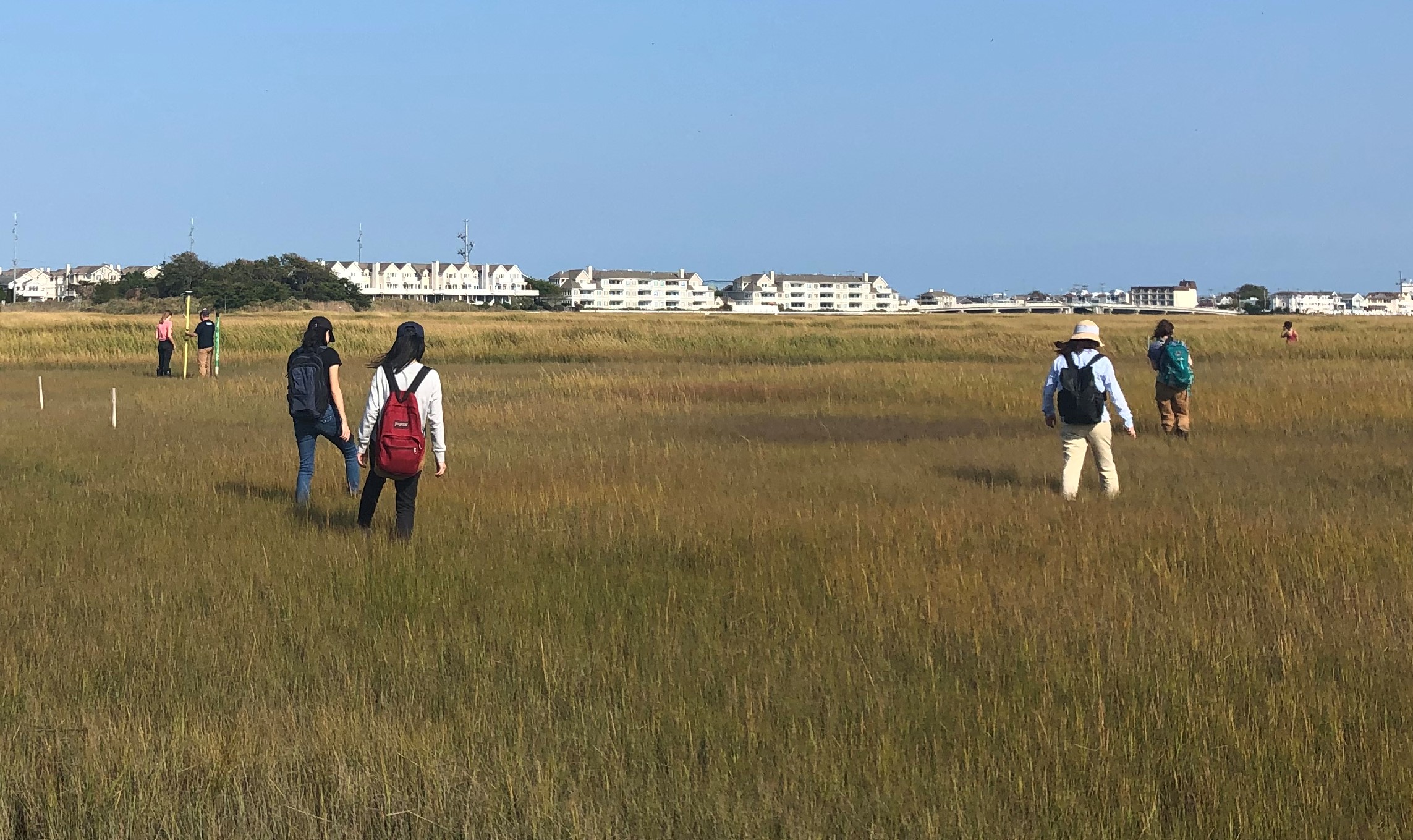
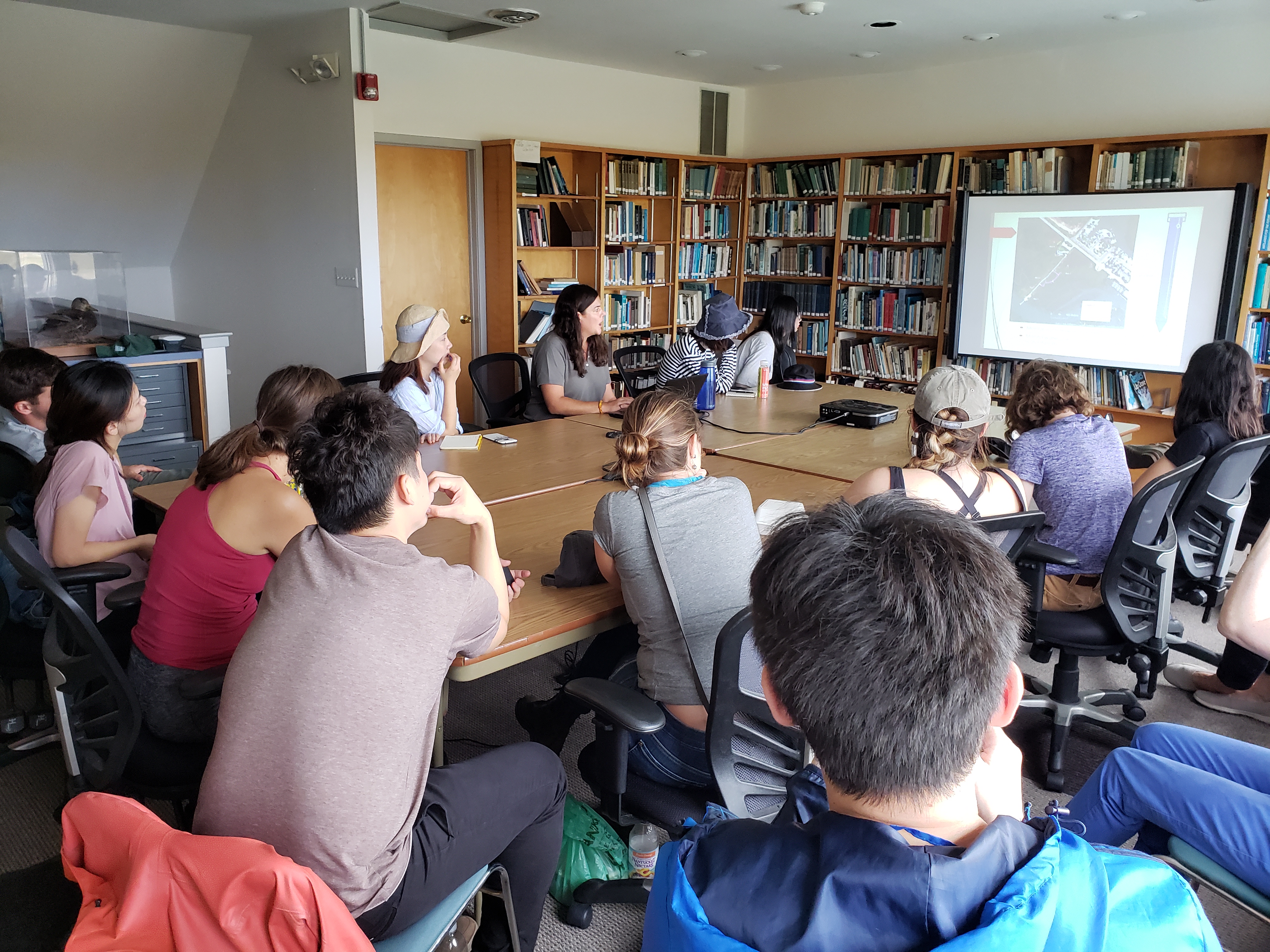
Accurate surveys are critical to understanding low-lying, flood prone locations. Surprisingly, the Galápagos Islands—one of the most scientifically studied sites in the world—lacks such data. Without a consistent and unified vertical datum, neither tides nor storm surge can be accurately referenced to the land. Our team used UAVs (drones) and GPS/ GNSS site survey equipment to record aerial survey information of Puerto Baquerizo Moreno’s shoreline and ravines. This information will be essential for modeling past and future storm surge, sea-level rise, and tsunami scenarios as it relates to the island’s urban growth and coastal areas.
Scroll
Featured Activity
![]()
![]()
![]()
![]()
![]()
![]()

Info
The Environmental Modeling Lab (EMLab) is an applied research unit of the Weitzman School of Design’s McHarg Center, specializing in the the analysis, simulation, and visualization of environmental systems.
Our Mission >
News
September, 2025 ︎︎︎
The McHarg Center published an interview with EMLab Co-directors Sean Burkholder, Karen M'Closkey, and Keith VanDerSys as part of their PERSPECTIVES series. The full conversation, which includes discussions of the land-water divide in data and technology, the importance of landscape architects’ involvement in creating environmental data, and the potential of applied research within academia, can be read on the McHarg Center Website.
All Posts >
About us
The Environmental Modeling Lab (EMLab) is an applied research unit of the Weitzman School of Design’s McHarg Center, specializing in the the analysis, simulation, and visualization of environmental systems.
Our Mission >
News
September, 2025 ︎︎︎
The McHarg Center published an interview with EMLab Co-directors Sean Burkholder, Karen M'Closkey, and Keith VanDerSys as part of their PERSPECTIVES series. The full conversation, which includes discussions of the land-water divide in data and technology, the importance of landscape architects’ involvement in creating environmental data, and the potential of applied research within academia, can be read on the McHarg Center Website.
All Posts >
Contact Us
For more information, please contact one of the co-directors: Sean Burkholder (seanburk@design.upenn.edu);
Karen M’Closkey (mcloskey@design.upenn.edu); or Keith VanDerSys (kvand@design.upenn.edu)
Karen M’Closkey (mcloskey@design.upenn.edu); or Keith VanDerSys (kvand@design.upenn.edu)
External Contact
Office of the Director
Connect
© 2020 University of Pennsylvania Stuart Weitzman School of Design
© The Ian L. McHarg Center for Urbanism and Ecology
119 Meyerson Hall
210 South 34th Street
Philadelphia, PA 19104
210 South 34th Street
Philadelphia, PA 19104
External Contact
![]()
© 2020 University of Pennsylvania Stuart Weitzman School of Design
© The Ian L. McHarg Center for Urbanism and Ecology
© 2020 University of Pennsylvania Stuart Weitzman School of Design
© The Ian L. McHarg Center for Urbanism and Ecology
Office of the Director
102 Meyerson Hall
210 South 34th Street
Philadelphia, PA 19104
210 South 34th Street
Philadelphia, PA 19104